Safety Rest Areas: Pecos East County Westbound
Pecos East County Eastbound is the partner for Pecos East County Westbound
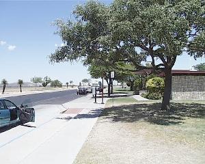 View of East Pecos County facility, Westbound |
Location
|
Features
Miscellaneous
- The name Pecos first appears in Juan de Oñate's reports concerning the Indian pueblo of Cicuye, now known as the Pecos Pueblo, and is of unknown origin
- Fort Stockton, a town 50 miles west of the facility, was where a pre- and post-civil war cavalry fort located. Ninth United States Cavalry, a regiment of black troops (also known as "Buffalo'soldiers") were among troops stationed here